Owning land is often the biggest investment a person makes in their lifetime. Yet, many property disputes in Pakistan do not arise from ownership itself,but from confusion over where one landholding ends and another begins. This is where boundary marks in land revenue play a critical role.
Boundary marks are not just stones, pillars, or lines on a map. They are legal reference points that protect landowners from disputes, encroachments, and costly litigation. Understanding them is essential whether you own agricultural land, inherited property, or a residential plot.
What Are Boundary Marks in Land Revenue?
Before diving into procedures and disputes, it is important to clearly understand what boundary marks actually mean in the land revenue context.
Boundary marks are physical or recorded indicators used to define the exact limits of a land parcel as recognized by the land revenue system. These marks connect land records with the actual ground position of the land.
Key characteristics include:
- They identify the start and end points of a property
- They correspond with khasra numbers and revenue maps
- They are used during demarcation and verification
Unlike informal fences or walls, boundary marks are recognized by the revenue authorities and carry legal weight when disputes arise.
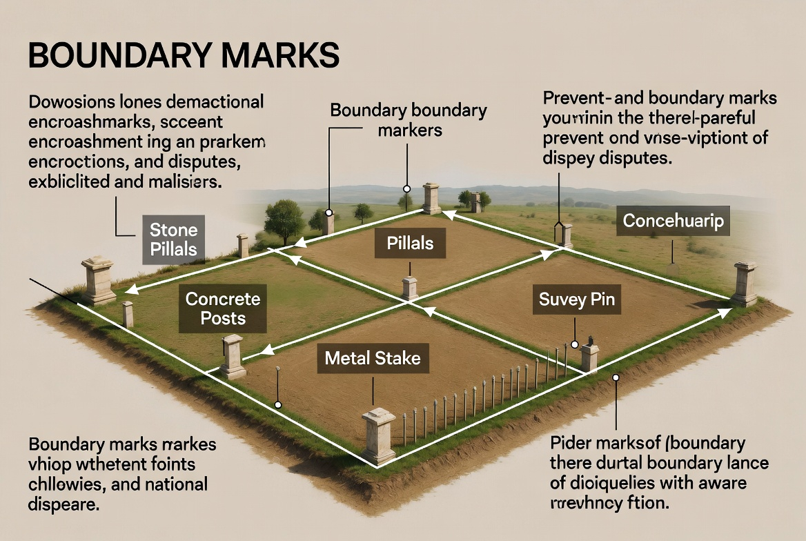
Why Boundary Marks Matter in the Land Revenue System
Boundary marks may look insignificant on the ground, but legally they hold immense importance in Pakistan’s land administration.
From a practical perspective, boundary marks:
- Prevent illegal encroachments
- Reduce family and neighbor disputes
- Help buyers verify land before purchase
From a legal standpoint, they are often the first reference point used by Patwaris, Qanungos, and courts during land disputes. Without clear boundary identification, even genuine owners can struggle to prove their claim.
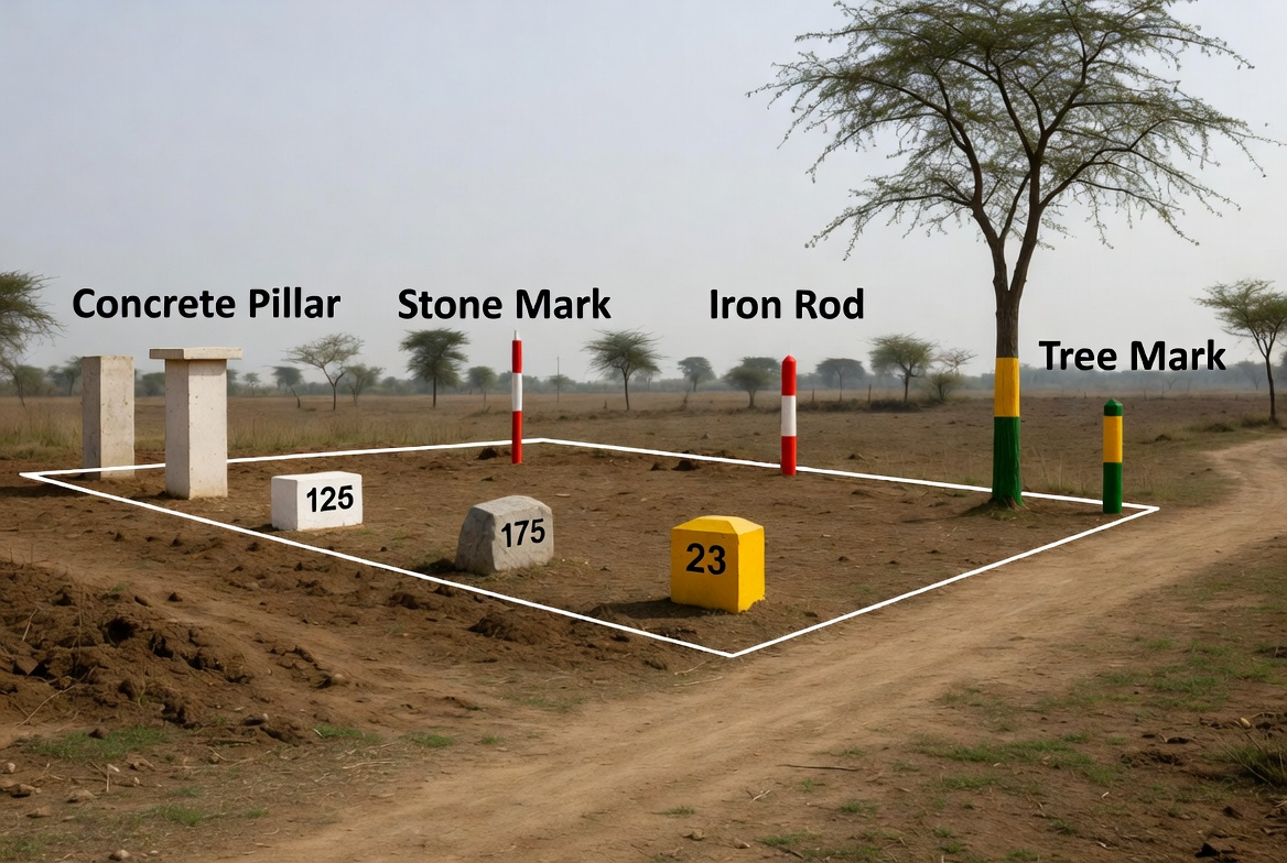
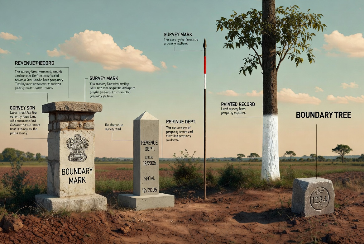
Types of Boundary Marks Used in Pakistan
Boundary marks vary depending on location, land type, and administrative practices. Understanding these types helps landowners recognize whether their property is properly marked or not.
Commonly used boundary marks include:
- Stone pillars embedded in the ground
- Concrete markers placed during official demarcation
- Natural markers such as canals, trees, or paths (used cautiously)
- Iron rods or survey pegs in urban layouts
In rural areas, boundary marks are often older and may erode over time, while urban schemes usually have more standardized markers.
Role of the Patwari in Boundary Mark Identification
The Patwari plays a central role in identifying and verifying boundary marks, especially in rural and semi-urban Pakistan.
When a landowner requests demarcation, the Patwari:
- Refers to the khasra map (Shajra Parcha)
- Locates existing boundary indicators
- Measures land using official tools
- Marks boundaries in the presence of witnesses
Although the Patwari does not decide ownership, their demarcation report is highly influential in resolving boundary disputes and is often relied upon in courts.
How Land Boundary Demarcation Is Performed
Demarcation is the official process through which boundary marks are verified or re-established on the ground. It is especially important when boundaries are unclear or contested.
The process generally follows these steps:
- Written application submitted to the revenue office
- Appointment of demarcation date
- Presence of landowners and neighboring owners
- Physical measurement using revenue maps
- Placement or confirmation of boundary marks
This structured approach ensures transparency and reduces chances of manipulation or error.
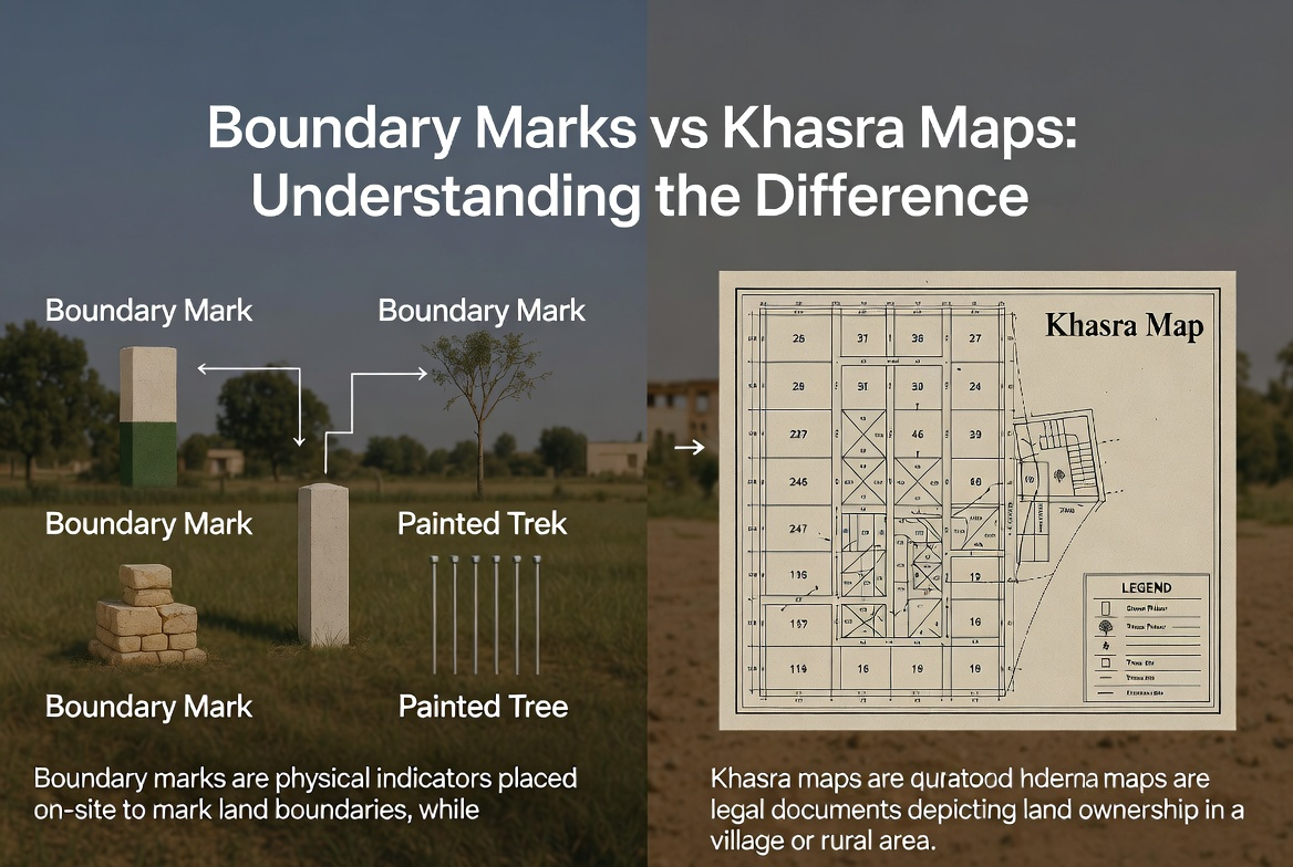
Boundary Marks vs Khasra Maps: Understanding the Difference
Many landowners assume that maps alone are enough to prove boundaries, but this is a common misconception.
Khasra maps show recorded boundaries on paper, while boundary marks translate those records onto the ground. Problems arise when:
- Maps are accurate but ground markers are missing
- Ground occupation does not match recorded boundaries
- Old demarcations were never updated
Both elements must align. A map without boundary marks creates confusion, while marks without map reference lack legal reliability.
Common Causes of Boundary Disputes in Pakistan
Boundary disputes are among the most frequent land-related conflicts in Pakistan, particularly in rural areas.
Typical causes include:
- Missing or destroyed boundary marks
- Inherited land without fresh demarcation
- Informal land division among family members
- Encroachments by neighboring owners
In many cases, disputes escalate simply because boundaries were never properly verified after inheritance or sale.
What Happens When Boundary Marks Are Missing?
Missing boundary marks do not automatically mean loss of ownership, but they significantly weaken a landowner’s position.
In such cases:
- Demarcation becomes mandatory
- Temporary measurements may be disputed
- Neighbors may exploit the ambiguity
Proactive landowners should never rely on assumptions. Re-establishing boundary marks through official channels is the safest approach to protect land rights.
Legal Importance of Boundary Marks in Property Transactions
Boundary marks are especially critical during buying, selling, or transferring property. Many buyers focus only on registry documents and ignore physical boundaries.
Before completing any transaction:
- Verify boundary marks on the ground
- Match them with khasra records
- Ensure no overlapping claims exist
Courts in Pakistan often prioritize demarcation reports over verbal claims, making boundary verification a smart legal safeguard.
Rural vs Urban Boundary Practices
Boundary marking practices differ noticeably between rural and urban areas, and understanding this difference helps manage expectations.
In rural Pakistan:
- Boundaries may rely on traditional markers
- Records can be decades old
- Human memory plays a larger role
In urban housing schemes:
- Layout plans define boundaries
- Concrete markers are common
- Measurement errors are less frequent
Despite these differences, official demarcation remains equally important in both contexts.
Real-Life Scenario: Inherited Land and Boundary Confusion
Consider a common situation: a father passes away, and agricultural land is divided among sons. The division is agreed verbally, but no demarcation is done.
Over time:
- One brother cultivates extra land
- Another feels encroached upon
- A dispute arises years later
Such conflicts could be avoided if boundary marks were placed immediately after inheritance through official demarcation.
How Boundary Marks Protect Landowners from Encroachment
Boundary marks act as silent guardians of property rights. When properly placed and recorded, they deter illegal occupation and provide clarity.
Their protective value includes:
- Clear visual limits for neighbors
- Strong documentary support
- Reduced dependency on oral testimony
Landowners who maintain boundary clarity rarely face prolonged disputes.
Expert Tips for Maintaining Boundary Security
Even after demarcation, boundary protection requires awareness and periodic verification.
Practical tips include:
- Photograph boundary marks after demarcation
- Inform neighbors of official boundaries
- Recheck boundaries after floods or construction
- Keep copies of demarcation reports
Small preventive steps can save years of legal trouble.
Final Thoughts: Why Every Landowner Should Understand Boundary Marks
Boundary marks may seem technical, but they directly affect peace of mind, property value, and legal security. In Pakistan’s complex land revenue system, ignorance often leads to avoidable disputes.
Understanding what boundary marks are, how they are verified, and when to request demarcation empowers landowners to protect what truly belongs to them. Clear boundaries are not just lines on land,they are the foundation of secure ownership.